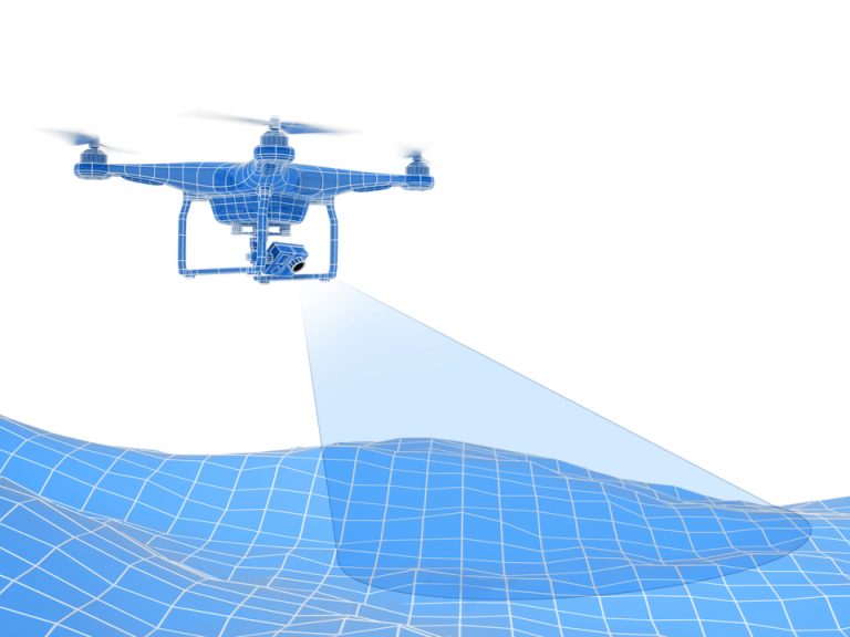
A journey to the 3D mapping using drones.
The latest trend in 3D mapping using drones revolves around enhanced precision and accuracy. Advanced sensors, such as LiDAR (Light Detection and Ranging), are now integrated into drones, enabling them to capture precise data points and create highly detailed 3D models. This trend ensures that mapping outputs are more accurate than ever, empowering industries like surveying, infrastructure planning, and environmental monitoring.
Automation and artificial intelligence (AI) are revolutionizing the field of 3D mapping using drones. With the integration of AI algorithms, drones can automatically identify and classify objects, such as buildings, trees, and roads, within the captured data. This automation streamlines the mapping process, saving time and effort while delivering more insightful results. Additionally, AI-powered algorithms enable real-time data analysis, allowing for faster decision-making and immediate actionable insights.
While drones are traditionally associated with outdoor mapping, the latest trend introduces indoor mapping capabilities. Specialized drones equipped with advanced sensors and cameras are now able to navigate and map indoor environments with precision. This opens up new possibilities for applications in areas like facility management, indoor navigation, and virtual reality experiences.
The synergy between 3D mapping using drones and other emerging technologies is gaining momentum. Integration with technologies such as augmented reality (AR) and virtual reality (VR) enhances visualization and immersive experiences. Furthermore, the fusion of drone mapping with Internet of Things (IoT) devices enables dynamic data collection and real-time analysis, paving the way for smart cities and intelligent infrastructure.
The latest trends in 3D mapping using drones highlight its growing role in environmental monitoring and conservation efforts. Drones equipped with advanced sensors can rapidly assess land cover, vegetation health, and ecosystem changes. This data aids in the conservation of natural resources, identification of endangered habitats, and monitoring the impact of climate change. The fusion of drones and 3D mapping is becoming an invaluable tool for environmental sustainability.
” As technology evolves, 3D mapping using drones continues”

