In the realm of artificial intelligence, few developments have captured the imagination quite like OpenAI’s ChatGPT. Wit ...
Categories
Post By Date
- February 2026
- January 2026
- December 2025
- November 2025
- October 2025
- September 2025
- August 2025
- July 2025
- June 2025
- May 2025
- April 2025
- March 2025
- February 2025
- January 2025
- December 2024
- November 2024
- October 2024
- September 2024
- August 2024
- July 2024
- June 2024
- April 2024
- March 2024
- February 2024
- January 2024
- December 2023
- November 2023
- October 2023
- September 2023
- August 2023
- July 2023
- June 2023
- May 2023
-
Trends in Cloud Technology
In the realm of technological innovation, cloud technology continues to evolve, captivating hearts and minds alike. With ...
What is Chat-GPT and How powerful it is?
the conversational companion that brings a touch of humanity to our digital interactions. What is Chat GPT?A Conversa ...
3D Mapping using Drones
A journey to the 3D mapping using drones. The latest trend in 3D mapping using drones revolves around enhanced precis ...
-
Cross-Disciplinary Synthesis Papers
Cross-Disciplinary Synthesis Papers: Integrating Cognitive Science, Design Ethics, and Systems Engineering to Reframe A ...
Immersive Ethics by Design for Virtual E...
As extended reality (XR) technologies - including virtual reality (VR), augmented reality (AR), and mixed reality (MR) ...
Energy-Harvesting Ubiquitous Sensors
In a hyper connected future where billions of sensors permeate every environment - from smart cities and agricultural f ...
Context-Aware Privacy-Preserving Protoco...
The Internet of Things (IoT) is evolving toward omnipresent, autonomous systems embedded in daily environments. However ...

- Zeus
- July 24, 2023
- 3 years ago
- 7:54 pm
Modern infrastructure, including bridges, highways, and buildings, is crucial to our daily lives and economic growth. Ensuring the safety and integrity of these structures is of paramount importance. Traditional methods of inspection, involving physical access and human intervention, can be time-consuming, costly, and potentially hazardous. However, the rapid advancements in drone technology have revolutionized the way we inspect and maintain critical infrastructure. Real-time aerial inspection using drones has emerged as an efficient and reliable method, providing engineers and maintenance teams with valuable insights in an expeditious manner. In this article, we delve into the intricacies of real-time aerial inspection using drones and the advanced technologies involved.
The Role of Drones in Aerial Inspection
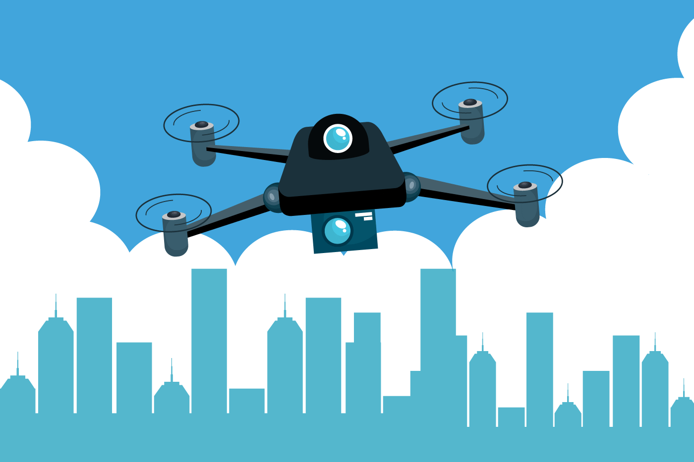
Drones, also known as Unmanned Aerial Vehicles (UAVs), have soared beyond their recreational uses and have found practical applications across numerous industries, including infrastructure inspection. Equipped with high-resolution cameras, sensors, and sophisticated software, drones offer an unprecedented view of structures from various angles, capturing vital data with exceptional detail. The versatility and maneuverability of drones allow them to navigate even the most challenging terrains and hard-to-reach locations, making them ideal for inspecting bridges and other infrastructure.
Advanced Camera Technology
The cornerstone of real-time aerial inspection lies in the advanced camera technology integrated into drones. High-resolution cameras with 4K capabilities can capture images and videos in stunning clarity, ensuring that every intricate detail is recorded. Infrared and thermal cameras are often utilized to detect temperature variations, enabling engineers to identify potential issues like heat leaks, water ingress, or electrical malfunctions that might otherwise remain unnoticed. These thermal imaging capabilities are particularly valuable for infrastructure situated in extreme weather conditions or subject to frequent temperature fluctuations.
LiDAR Technology and 3D Modeling
Beyond conventional cameras, drones equipped with LiDAR (Light Detection and Ranging) technology have revolutionized aerial inspections. LiDAR employs laser pulses to measure distances accurately, creating precise 3D point clouds of the infrastructure. These point clouds serve as the foundation for generating highly detailed 3D models of the structures. The combination of high-resolution images and LiDAR data enables engineers to analyze the infrastructure from different perspectives, identifying deformations, cracks, and damages with enhanced accuracy.
Real-Time Data Transmission
One of the most significant advantages of real-time aerial inspection is the live transmission of data from the drone to the ground station. As the drone conducts its flight, it streams live video feeds and telemetry data in real-time, allowing inspection teams to monitor the process remotely. This live data transmission empowers engineers to make instant decisions during the inspection, directing the drone to focus on specific areas of interest and ensuring that no critical details are overlooked.
Geospatial Positioning and Mapping
GPS (Global Positioning System) and GNSS (Global Navigation Satellite System) technologies play a crucial role in real-time aerial inspection. By incorporating GPS/GNSS receivers into drones, accurate positioning data is obtained, enabling precise georeferencing of the collected data. This geospatial information allows engineers to map the inspection data onto existing infrastructure maps, ensuring the correct placement of identified defects or damages.
Cloud Computing and Data Processing
The volume of data collected during aerial inspections can be substantial. To efficiently manage and process this data, cloud computing comes into play. Cloud-based platforms offer scalable and powerful computing resources, allowing inspection data to be stored, analyzed, and processed efficiently. Through cloud-based processing, inspection teams can quickly generate comprehensive reports and actionable insights from the collected data, optimizing maintenance efforts.
Artificial Intelligence for Automated Analysis
Another cutting-edge aspect of real-time aerial inspection is the application of Artificial Intelligence (AI) and machine learning algorithms. By integrating AI into the data analysis process, drones can automatically detect defects, anomalies, and potential hazards. These intelligent algorithms learn from historical data, continually improving their accuracy and efficiency. AI-powered inspections save time and resources, allowing engineers to focus on interpreting results and implementing appropriate maintenance measures.
Safety Features and Regulations
Safety is of utmost importance in the use of drones for infrastructure inspection. Advanced drones are equipped with obstacle detection and collision avoidance systems, ensuring safe navigation around structures and preventing potential hazards. Additionally, strict adherence to local regulations and obtaining necessary permits for drone operations is vital to ensure legal compliance and public safety.
In conclusion, real-time aerial inspection using drones and advanced technologies has transformed the way we assess and maintain critical infrastructure. Drones equipped with high-resolution cameras, LiDAR technology, thermal imaging, and AI capabilities provide engineers and maintenance teams with invaluable data and insights. The ability to conduct inspections remotely, in real-time, and with enhanced accuracy has ushered in a new era of efficiency and safety in infrastructure management. As technology continues to evolve, we can expect even more innovative solutions that further streamline the inspection and maintenance processes, ultimately ensuring the safety and longevity of our essential infrastructure.

